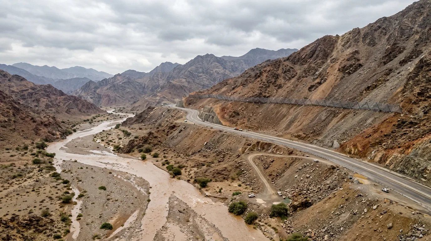
Hydrology & Hydraulic Engineering
A complete hydrology and hydraulic engineering service, from catchment-scale rainfall-runoff studies to the detailed design of channels, culverts and flood protection structures. Our work covers how water moves across a road corridor, a site or a whole city.
From rainfall to reinforced structure
Flash floods in Saudi wadis rise in minutes and carry boulders, sediment and debris. Designing for them needs reliable hydrology, defensible hydraulic modelling and structures detailed for scour, abrasion and blockage.
SARAT delivers the whole chain: data collection, catchment delineation, design storm derivation, rainfall-runoff and routing models, 1D/2D hydraulics, flood risk mapping and the detailed engineering deliverables that contractors build from.
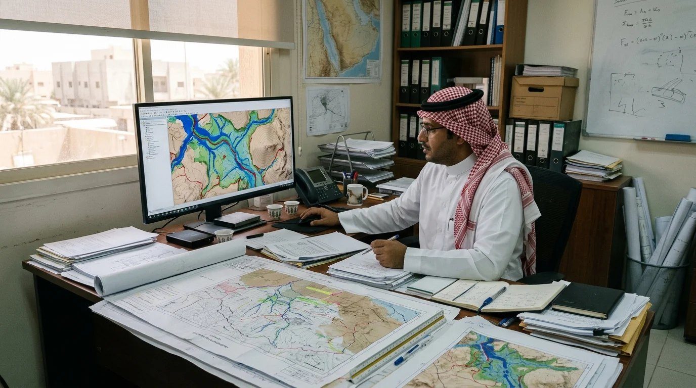
Hydrology for Roads, Highways & Rail
Roads are where most of our hydrology work starts. Every new highway and mountain road in the Kingdom crosses wadis, and each crossing needs a defensible design flow, the right culvert or bridge opening, and protection against scour. We size culverts and bridges, design road drainage and check embankments against overtopping and erosion.
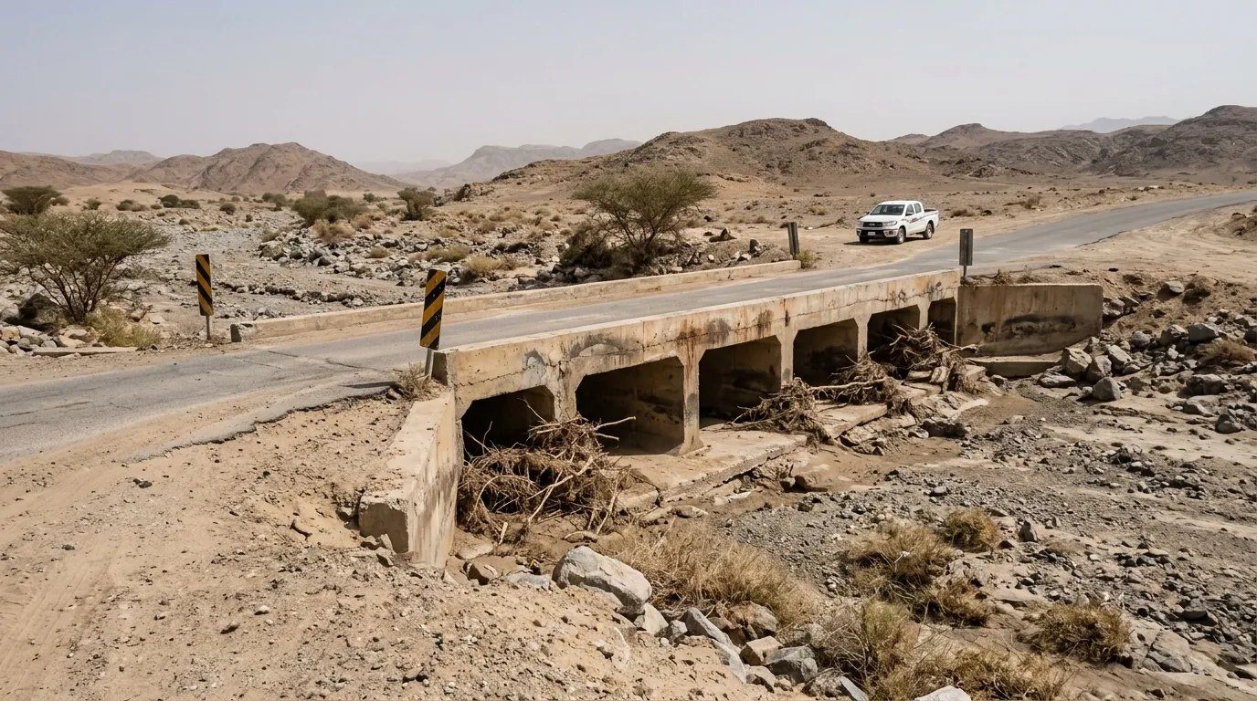
- Wadi crossing hydrology for highways
- Culvert and bridge opening sizing (HY-8, HEC-RAS)
- Road and median drainage design
- Embankment overtopping and scour checks
- Railway cross drainage
- Bridge pier and abutment scour
Hydrology for Power, Renewables & Data Centres
After roads, our largest hydrology workload is for power and energy: solar PV and wind farms, battery energy storage (BESS), substations and transmission lines, and data centre and AI data centre campuses. These sites cover large areas of open desert crossed by wadis, and each needs defensible flood levels, drainage and scour protection to secure financing and long-term operation.
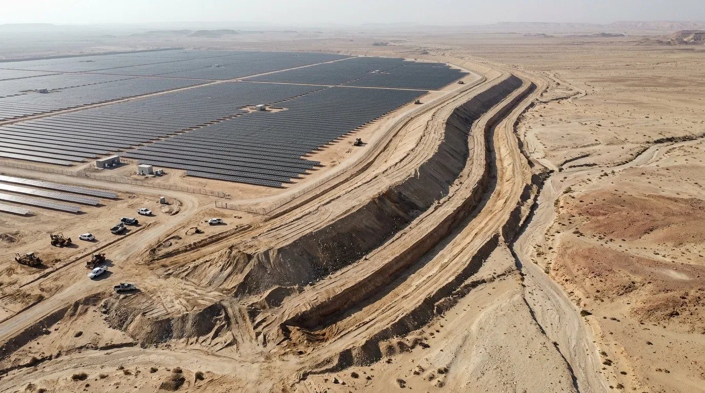
- Substation and BESS flood levels
- Tower foundation scour
- Solar PV flood mapping and drainage
- Wind farm roads and pad flood immunity
- Data centre flood risk and attenuation
- Lender and authority hydrology reports
Services
Hydrological Studies
Basin-scale studies that define design flows for roads, rail, urban developments, industrial sites and dams.
- Catchment delineation from DEM, LiDAR and survey
- Rainfall analysis and IDF curve derivation
- Frequency analysis of storm records (Gumbel, LP3, GEV)
- Design storms and temporal distributions
- Loss methods: SCS-CN, Green-Ampt, initial/constant
- Time of concentration and lag estimation
- Climate change allowance and sensitivity
- Hydrology reports to MOMRAH, MOT and client standards
Rainfall-Runoff Analysis & HEC-HMS Modelling
Event and continuous rainfall-runoff models built and calibrated in HEC-HMS to produce peak flows and full hydrographs for every crossing and outfall.
- HEC-HMS basin, meteorologic and control models
- Unit hydrograph methods (SCS, Snyder, Clark)
- Channel routing (Muskingum, Muskingum-Cunge)
- Reservoir and detention routing
- Sub-basin discretisation and junction flows
- Calibration against observed or regional data
- Return periods from 2 to 100 years and PMF checks
- Hydrograph tables for hydraulic models
1D/2D Flood Modelling & HEC-RAS
Steady and unsteady hydraulic models that show where water goes, how deep and how fast, and what changes when infrastructure is built.
- HEC-RAS 1D steady and unsteady models
- HEC-RAS 2D rain-on-grid and inflow models
- Coupled 1D/2D for channels and floodplains
- Bridge, culvert and weir modelling
- Pre- and post-development comparisons
- Velocity, depth and hazard (D×V) outputs
- Dam-break and breach scenarios
- Model review and audit of third-party studies
Flood Risk Mapping & Assessment
Clear, mapped flood risk for master plans, permits and investment decisions.
- Flood extent, depth and velocity mapping
- Flood hazard classification
- Flood risk assessments for developments
- Master plan drainage and flood strategy
- Wadi corridor and setback definition
- GIS deliverables and web-ready maps
Wadi Studies & Wadi Crossings
Specialist study of ephemeral wadi systems, where flash floods, braided channels and sediment loads govern design.
- Wadi morphology and channel stability
- Flash flood characterisation
- Sediment transport and debris load
- Wadi crossing options (culvert, bridge, Irish crossing)
- Training works and guide bunds
- Wadi diversion design
Stormwater Drainage Design
Gravity drainage networks and surface water systems for highways, cities, industrial plants and airports.
- Highway and road drainage design
- Urban stormwater networks
- Inlets, manholes and pipe sizing
- Detention and retention ponds
- Infiltration and soakaway systems
- Pumping station hydraulics (concept)
- SWMM / network hydraulic modelling
- Construction drawings and long sections
Culvert Design
Hydraulic and structural design of pipe and box culverts sized for capacity, blockage and outlet scour.
- Inlet and outlet control analysis (HY-8 / HEC-RAS)
- Box and pipe culvert sizing
- Headwalls, wingwalls and aprons
- Blockage and debris allowances
- Energy dissipators and outlet protection
- Structural design and reinforcement details
Channel Engineering & Hydraulic Structures
Lined and unlined channels and the structures that control them.
- Open channel design (lined / unlined / composite)
- Drop structures and chutes
- Stilling basins and energy dissipators
- Weirs, spillways and check dams
- Inlet and outlet structures
- Flood walls and levees
- Debris and sediment control structures
Erosion & Scour Assessment
Scour and erosion assessment for bridges, culverts, embankments and channels, with protection designed to match.
- Bridge pier and abutment scour (HEC-18)
- Contraction and general scour
- Bank erosion and channel migration
- Riprap sizing and filter design
- Gabion and mattress protection design
- Cut-off walls and toe protection
Flood Mitigation & Protection Schemes
Schemes that reduce flood risk to people and assets, from protection dykes to diversion channels.
- Flood protection dykes and bunds
- Diversion and interceptor channels
- Detention dams and attenuation basins
- Upstream catchment interventions
- Option studies and cost comparison
- Integration with slope and road works
Our approach
Data
Topography, rainfall records, site visit and existing studies.
Hydrology
Catchments, design storms and HEC-HMS runoff models.
Hydraulics
HEC-RAS 1D/2D models of existing and proposed conditions.
Design
Drainage, culverts, channels and protection sized and detailed.
Documents
Report, drawings, calculations, specifications and BOQ.
Deliverables
- Hydrology and hydraulic reports
- HEC-HMS / HEC-RAS model files
- Flood maps and GIS layers
- Design calculations
- Plans, sections and details
- Technical specifications
- Bills of quantities (BOQ)
- Design review responses
Software & methods
- HEC-HMS
- HEC-RAS 1D / 2D
- HY-8 culvert analysis
- EPA SWMM
- ArcGIS / QGIS
- AutoCAD Civil 3D