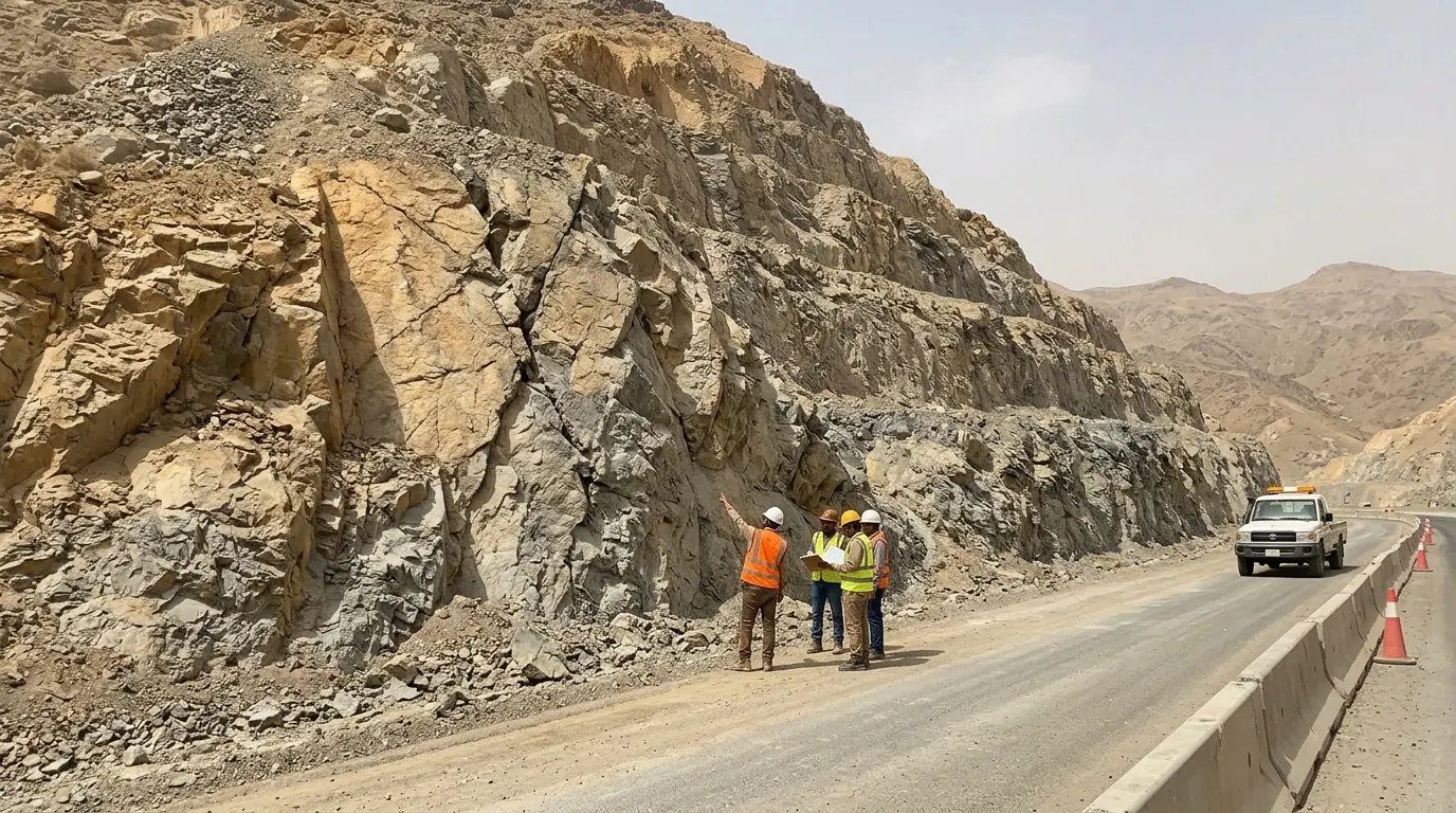
Slope Stabilization & Geotechnical Design
Soil and rock slope engineering for mountain roads, cuts, platforms and tunnels. Rigorous analysis turned into constructable designs, with the drawings, calculations, specifications and BOQs to build them.
Analysis that leads to construction
The Sarat, Hijaz and Asir escarpments put road cuts, rail corridors and new developments against steep, jointed and weathered rock. Every slope needs a design that is correct on paper and buildable on a rope-access face.
SARAT combines field geology, rock mechanics and numerical analysis with practical constructability, so stabilization schemes can be installed safely and inspected easily.
Services
Soil & Rock Slope Stability Studies
Limit-equilibrium and numerical stability analysis of natural and cut slopes, embankments and excavations.
- Limit equilibrium (Bishop, Spencer, Morgenstern-Price)
- Finite element / strength reduction analysis
- Seismic (pseudo-static) and rapid drawdown cases
- Probabilistic and sensitivity analysis
- Back-analysis of failed slopes
- Factor of safety reporting to project criteria
Geological Mapping & Rock Mechanics
Engineering geological mapping and rock mass characterisation that feeds directly into design.
- Engineering geological mapping
- Discontinuity surveys (orientation, spacing, persistence)
- Rock mass classification (RMR, Q, GSI)
- Hoek-Brown and Barton-Bandis parameters
- Weathering and durability assessment
- Drone / photogrammetry-assisted mapping
Kinematic Analysis
Stereographic analysis to identify planar, wedge and toppling failure mechanisms on every cut face.
- Planar, wedge and toppling checks
- Stereonets per slope domain
- Block size and wedge stability
- Optimised cut angles and benching
- Bolt orientation and pattern design
Rockfall Simulation & Hazard Assessment
2D and 3D rockfall trajectory modelling to size barriers, ditches and catch fences on real energies and bounce heights.
- Source zone identification
- 2D / 3D trajectory simulation
- Kinetic energy and bounce height envelopes
- Rockfall hazard and risk rating
- Ditch and catch-fence sizing
- Barrier energy class selection (ETAG 027 / EAD)
Landslide Assessment
Investigation and remediation design for active and potential landslides.
- Landslide mapping and mechanism
- Monitoring planning (inclinometers, piezometers, survey)
- Back-analysis of strength parameters
- Remediation options and design
Retaining Structures
Design of gravity, cantilever, reinforced-earth, gabion and anchored retaining systems.
- Reinforced concrete cantilever walls
- Mechanically stabilised (reinforced) earth
- Gabion walls
- Anchored and tied-back walls
- Soldier pile and contiguous pile walls
- Global and internal stability checks
Soil Nail & Rock Bolt Design
Passive reinforcement for soil and rock faces, designed to recognised codes and detailed for installation.
- Soil nail walls (FHWA / BS 8006-2)
- Rock bolt patterns and spot bolting
- Self-drilling anchor design
- Bond and tendon capacity checks
- Corrosion protection and design life
- Pull-out test specifications
Ground Anchor Systems
Prestressed strand and bar anchors for walls, slopes and portals.
- Anchor capacity and free / fixed length
- Prestress and lock-off loads
- Investigation, suitability and acceptance tests (BS 8081 / EN 1537)
- Double corrosion protection details
- Anchor head and walers
Shotcrete & Surface Protection Design
Shotcrete facings, mesh-reinforced linings and surface protection systems.
- Plain, mesh and fibre-reinforced shotcrete
- Thickness and reinforcement design
- Weep holes and drainage behind facing
- High-tensile mesh and drapery design
- Architectural / sculpted shotcrete
Rockfall Barrier Design
Selection, layout and foundation design of flexible barriers, attenuators, drapery and catch fences.
- Flexible barrier selection by energy class
- Attenuator and hybrid systems
- Barrier height and residual height checks
- Post and anchor foundation design
- Drapery and pinned mesh systems
- Maintenance access planning
Slope Drainage
Surface and sub-surface drainage that removes the most common trigger of slope failure.
- Crest and berm drains
- Horizontal (sub-horizontal) drains
- Weep holes and drainage mats
- Chutes and cascade drains
- Integration with corridor drainage
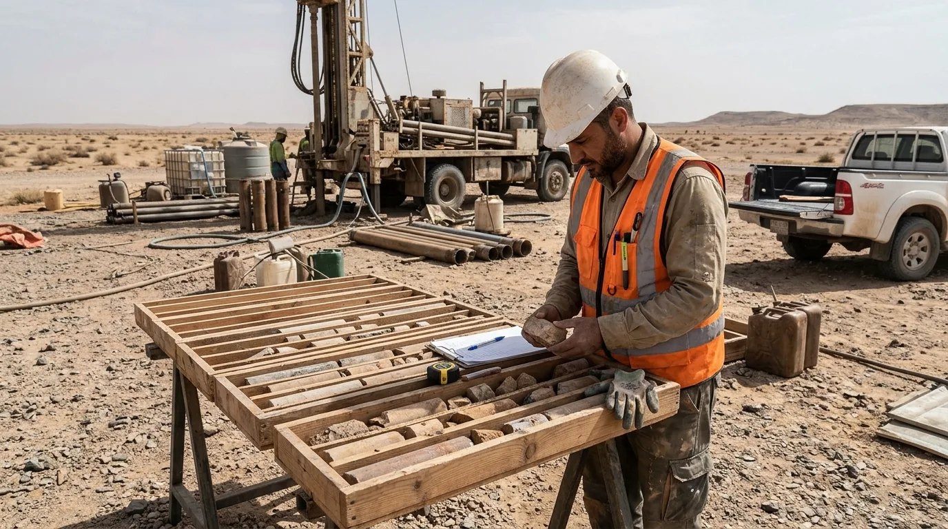
Geotechnical Investigations
Planning, supervision and interpretation of site investigations for slopes, foundations and tunnels.
- Investigation planning and specification
- Borehole logging and core description
- In-situ and laboratory test scheduling
- Geophysics interpretation
- Geotechnical interpretative reports (GIR)
- Geotechnical baseline reports (GBR)
Tunnel Geotechnical Engineering
Rock mass characterisation, support design and portal stabilization for road, rail and utility tunnels.
- Tunnel geotechnical characterisation
- Empirical support (Q-system, RMR)
- Numerical support design (2D / 3D)
- Rock bolt, shotcrete and steel-set design
- Portal stabilization design
- Excavation sequence and support classes
Slope Engineering Software
Our engineers work across the full suite of slope, rock and rockfall software, choosing the method that fits the ground: limit equilibrium for routine checks, numerical models for complex rock masses, and 2D and 3D rockfall simulation to size barriers on real energies.
Limit equilibrium slope stability
- Rocscience Slide2 (2D)
- Rocscience Slide3 (3D)
- GeoStudio SLOPE/W
- GEO5 Slope Stability
- Bishop, Spencer, Morgenstern-Price, GLE, Janbu
- Probabilistic and sensitivity analysis
Finite element & numerical modelling
- Rocscience RS2 / RS3
- PLAXIS 2D / PLAXIS 3D
- FLAC / FLAC3D (finite difference)
- UDEC / 3DEC (discrete element)
- GeoStudio SIGMA/W, QUAKE/W
- Shear strength reduction (SSR) factor of safety
Rock slope kinematics & wedges
- Rocscience Dips (stereonet)
- RocPlane (planar sliding)
- SWedge (wedge failure)
- RocTopple (block toppling)
- RocData / RSData (strength parameters)
- Hoek-Brown and Barton-Bandis criteria
Rockfall simulation
- RocFall2 (2D trajectories)
- RocFall3 (3D trajectories)
- RAMMS::ROCKFALL
- Rockyfor3D
- Kinetic energy & bounce height envelopes
- Barrier position and height optimisation
Seepage, drainage & groundwater
- GeoStudio SEEP/W
- RS2 groundwater analysis
- Horizontal drain design
- Pore pressure and rapid drawdown checks
Survey, mapping & 3D models
- Terrestrial and drone LiDAR
- Drone photogrammetry (Agisoft Metashape, Pix4D)
- CloudCompare discontinuity mapping
- Leapfrog Geo 3D geological models
- ArcGIS / QGIS hazard mapping
- AutoCAD Civil 3D sections
Support & reinforcement design
- Soil nail and anchor design (Slide2, GEO5, SNAILZ)
- UnWedge & RocSupport (tunnels and portals)
- Flexible facing and mesh dimensioning
- Barrier foundation and anchor design
- Settle3 (settlement)
- Retaining walls (GEO5, Wallap)
Rockfall Protection Systems We Design
From hazard rating to barrier selection and foundation design, we cover every rockfall protection system used on Saudi mountain roads, railways, heritage sites and development platforms.
Our approach
Investigate
Mapping, boreholes, laboratory testing and rock mass data.
Analyse
Kinematic, limit-equilibrium, numerical and rockfall analysis.
Design
Stabilization scheme chosen for safety, cost and buildability.
Detail
Drawings, calculations, specifications and BOQ.
Support
Technical submittals, site queries and inspection.
Deliverables
- Geotechnical and geological reports
- Stability and rockfall analysis files
- Design calculations
- Detailed drawings and typical sections
- Technical specifications
- Bills of quantities (BOQ)
- Method statement review
- Inspection and test plans
Software & methods
- Rocscience Slide2 / Slide3
- Rocscience RS2 / RS3
- Dips, RocPlane, SWedge, RocTopple
- RocFall2 / RocFall3
- PLAXIS 2D / 3D
- GeoStudio SLOPE/W & SEEP/W
- FLAC / FLAC3D, UDEC / 3DEC
- RAMMS::ROCKFALL